Over 20 years of experience in capturing road and rail networks
AI-supported infrastructure inventory straight from the survey drive
Automatically detect traffic signs from road survey imagery, assign them and reconcile them with the existing database – transparently and traceably.
An image- and data-based platform for infrastructure operators
STRADIS: route imagery, measurement data and asset data in one solution
For over 20 years, STRADIS has been supporting municipalities, infrastructure operators and transport organisations in capturing and detecting road and rail networks. At the heart of the solution is an image- and data-based platform that brings together route imagery, measurement data and geolocated asset data.
As demands for data currency, traceability and efficiency increased, it became clear that traditional, rule-based methods and existing market products are no longer sufficient for scalable infrastructure inventory. High object variance, changing perspectives and real-world environmental conditions lead to manual effort and limited transferability.

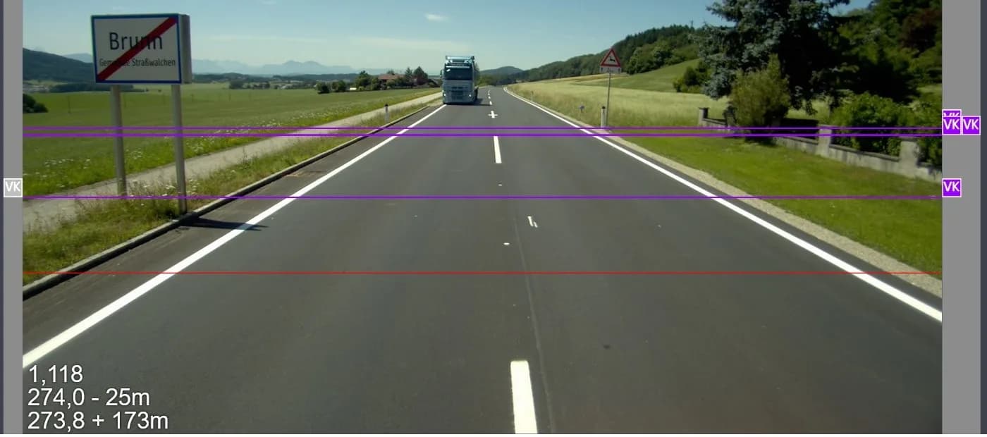
Detection of traffic signs straight from the survey drive.
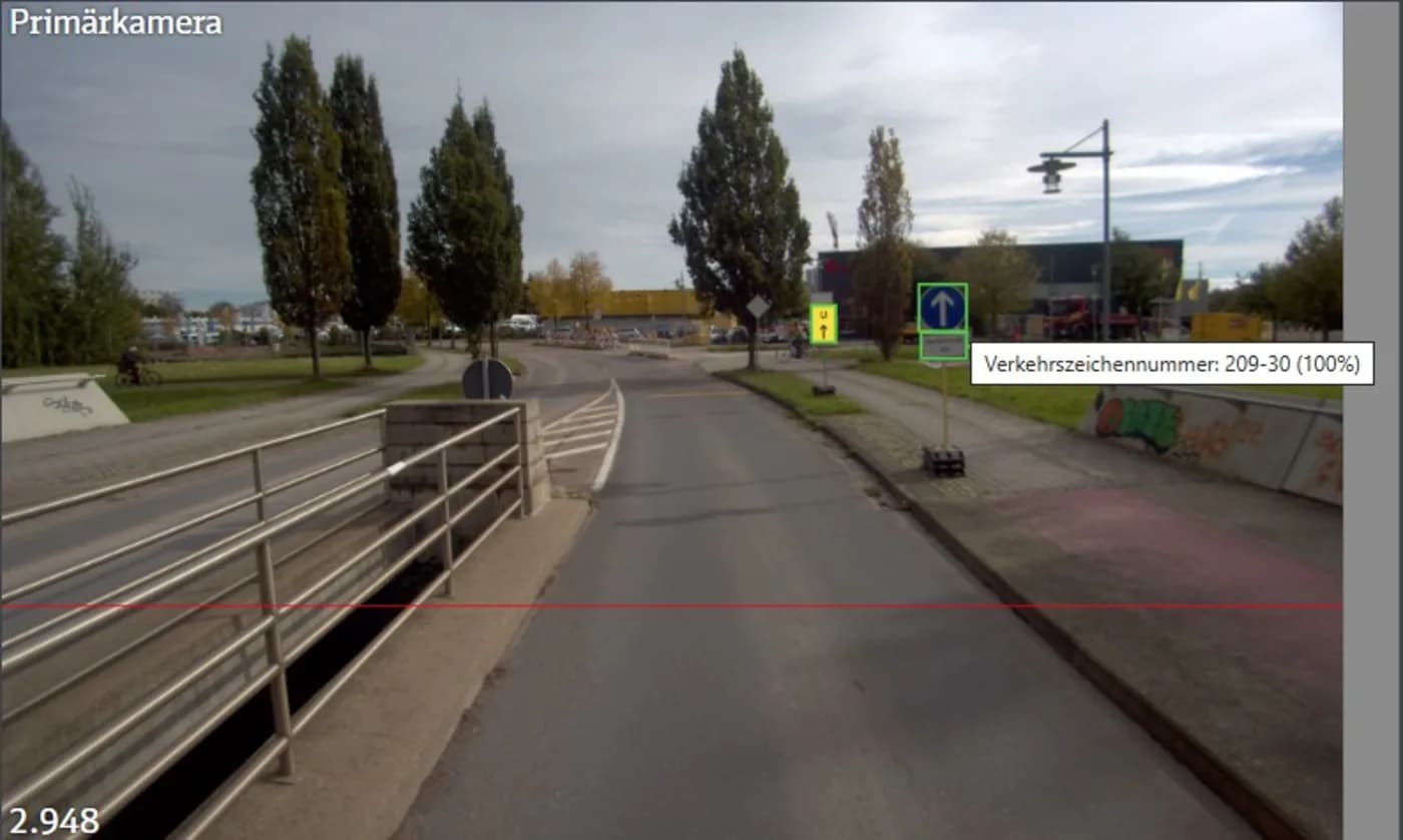
The use case
Inventorying traffic signs – straight from the survey drive
As a first application, STRADIS focused on the inventory of traffic signs. The goal was to automatically detect signs from the image data captured during the road survey drive, assign them unambiguously and reconcile them with an existing infrastructure database.
Crucial from the outset:
Automatic detection without subsequent manual review of all images, structured reconciliation with existing asset data, full traceability of every decision, and GDPR compliance.
The solution
STRADIS WebClient combined with Vision AI from DENKweit
The technical foundation is the browser-based STRADIS WebClient. It visualises image data, maps, measurements and asset data synchronously and serves as the central working interface for infrastructure inventory.
Together with DENKweit, the WebClient was extended with Vision AI functionality based on DENKnets. This brings detection, reconciliation and review together into a seamless, practical workflow.
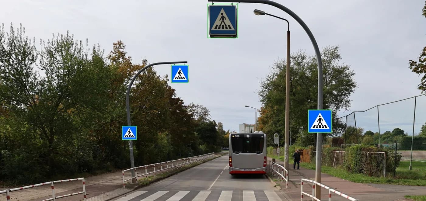
Reconciliation of the detected signs with DENK Match AI.
Why Vision AI is decisive here
A learning, scalable system instead of rigid rule sets
Transport infrastructure is real, variable and not standardised. Vision AI based on DENKnets is designed to handle exactly this variance. The models are trained with real survey data and iteratively extended – for example for new sign types or changed conditions. Unlike rigid rule sets, this creates a learning, scalable system that can be transferred to further objects.
Added value for infrastructure service providers
The approach is deliberately designed to go beyond the traffic-sign use case. The interplay of WebClient and DENKnet can be transferred to further infrastructure objects, e.g. vehicle restraint systems, road markings, as well as manholes and gully covers.
For infrastructure service providers this means: structured inventory straight from survey data, less manual reworking, traceable, verifiable results, and a scalable principle instead of a one-off solution. The solution is also scalable geographically: initial enquiries from Austria underline the potential beyond the German market.
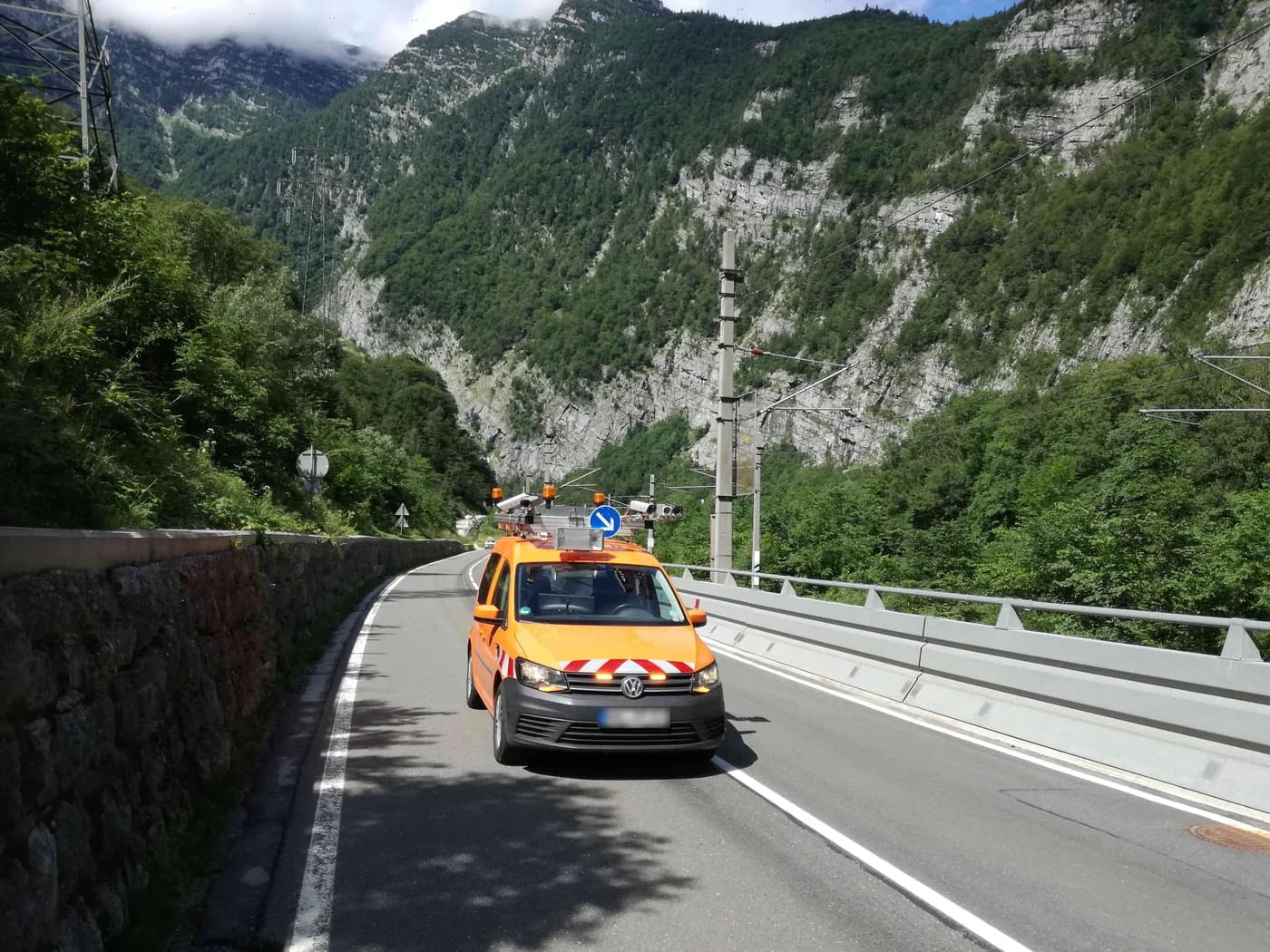
The process: detection, reconciliation and transparent review
The workflow follows a clear, practical principle – from automatic object detection through reconciliation with the existing database to traceable review in the WebClient.
Object detection with DENKnet
Traffic signs are detected automatically in the image data – straight from the survey drive, without pre-selection.
Assignment & reconciliation with DENK Match AI
The detected signs are compared with entries from the existing infrastructure database and assigned unambiguously.
Transparent review in the WebClient
All results are visually traceable. Users can review, confirm or correct detections – including a reference to the original image.
Conclusion
A blueprint for modern infrastructure service providers
The collaboration between STRADIS and DENKweit shows how AI-supported infrastructure inventory works in practice: automated, transparent and controllable. DENKnet handles the robust detection of real-world objects, DENK Match AI ensures intelligent reconciliation with the existing database, embedded in an established WebClient platform.
An approach that works not just for a single customer, but serves as a blueprint for modern infrastructure service providers.